Integrated 3-D Structural Mapping in the Southern Taiwan Slate Belt: Implications for Basal Accretion and Orogenic Growth
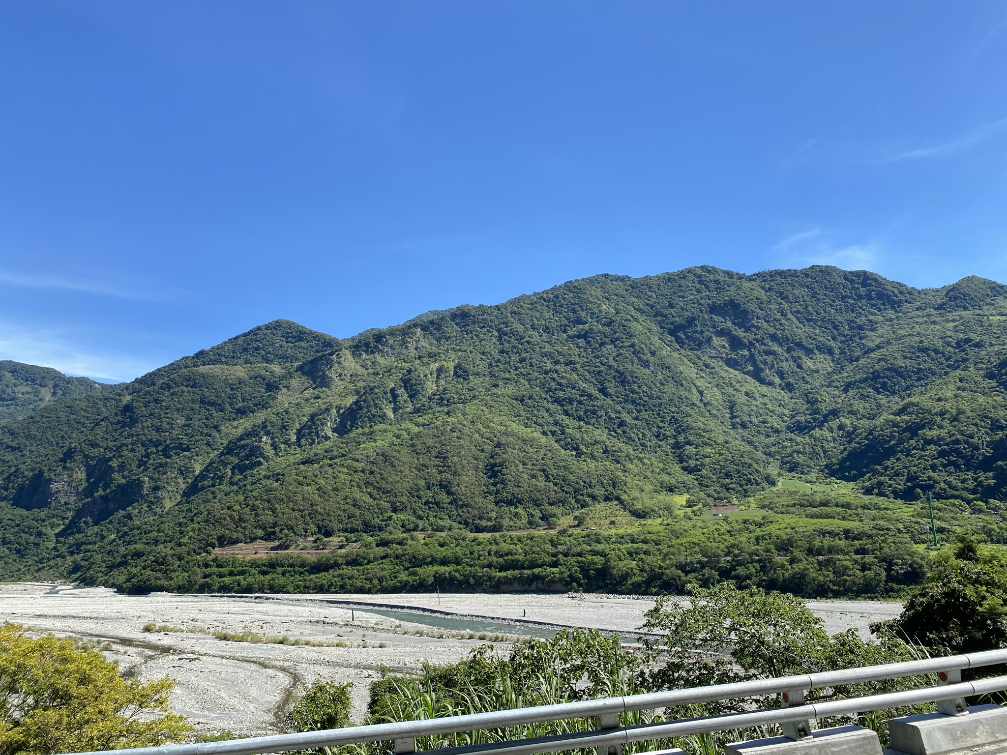
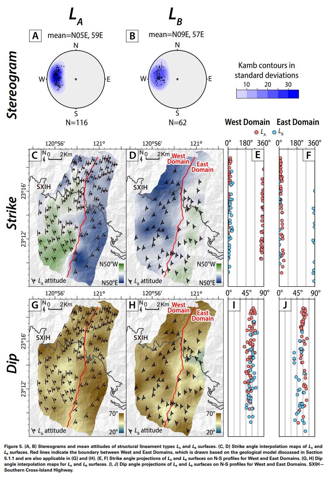
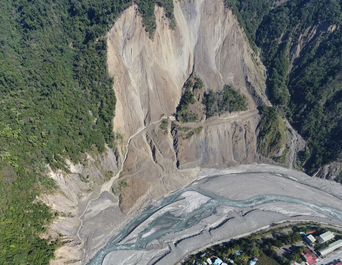
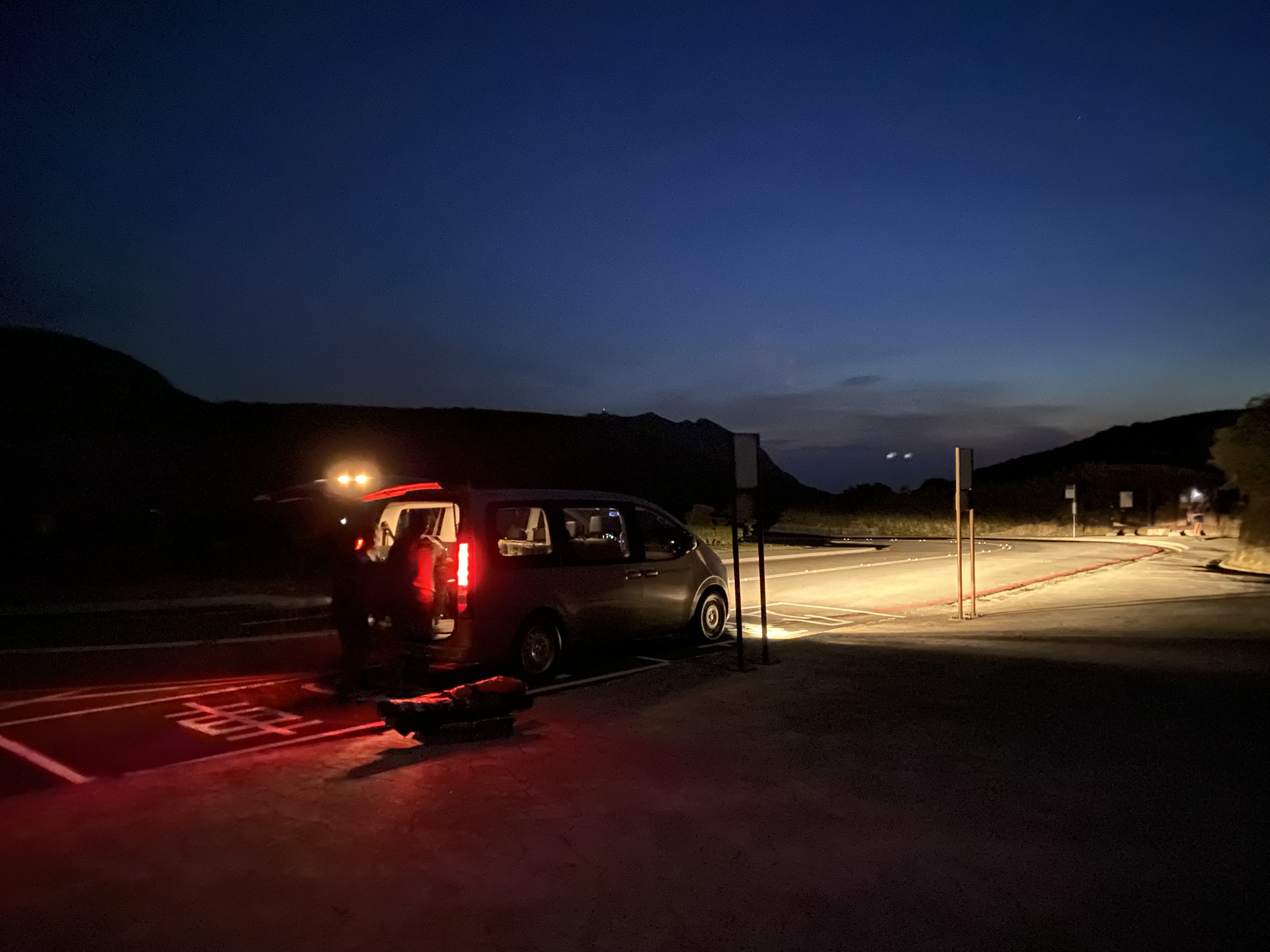
This study integrates airborne LiDAR, 3-D structural mapping, satellite imagery, UAV observations, and field investigations to reconstruct the regional structural architecture of the southern Taiwan Slate Belt. In this densely vegetated and rugged mountain belt, conventional geological mapping is strongly limited by discontinuous exposures. High-resolution LiDAR-derived bare-earth topography provides a way to trace bedding, metamorphic foliation, and major structural lineaments continuously across areas that are otherwise difficult to investigate.
The resulting 3-D mapping reveals a previously unrecognized ~10-km-wavelength fault-breached synclinal structure and provides the first clear constraints on the three-dimensional trace of the Kuaiku out-of-sequence thrust. By integrating these new structural observations with paleo-thermal and geochronologic information, the study supports an orogenic evolution involving basal accretion, nappe stacking, penetrative deformation, and out-of-sequence thrusting.
More broadly, this work demonstrates how LiDAR-based 3-D geological mapping can extend structural interpretation far beyond isolated field exposures. It provides an effective approach for investigating the internal architecture and growth of active mountain belts, particularly in strongly deformed and densely vegetated regions where conventional mapping alone is insufficient.