Research Topics
Table of Contents
The research topics that I have developed with my students encompass landslide geomorphology, high-resolution 3D geological mapping, landslide monitoring and modeling, and structural geology of active mountain belts. A central theme of my research is the application of high-resolution digital elevation models (DEMs), integrated with remote sensing, field observations, and geospatial analyses, to obtain new insights into Earth surface processes and geological structures. By combining advanced topographic data with geological and geomorphological approaches, our studies aim to better understand landscape evolution, tectonic deformation, and natural hazards in complex mountainous environments. The following four research topics highlight the major contributions of my recent research activities.
Current Research Topics
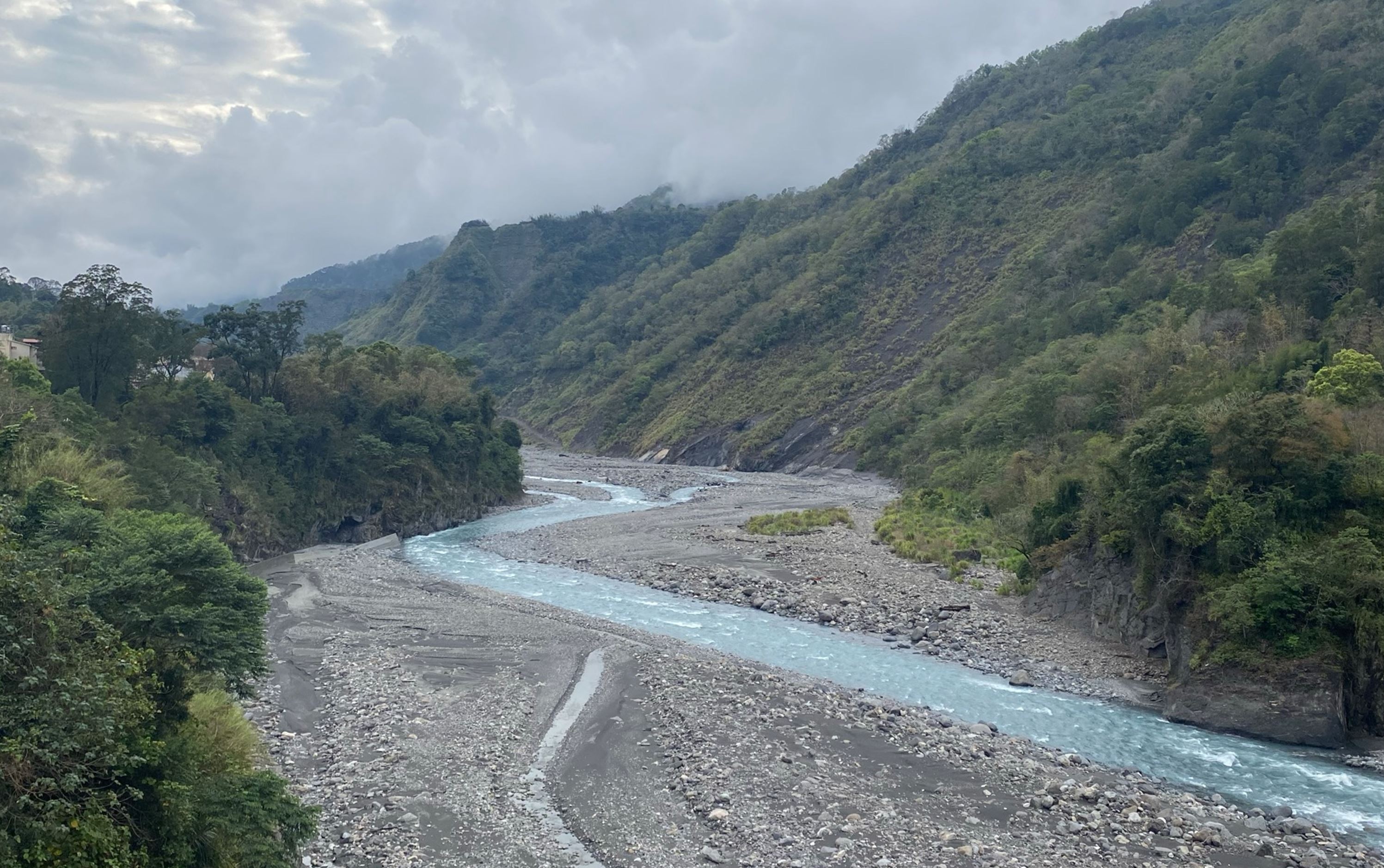
(I) Applications of multi-period and multi-source high-resolution DEMs for studies of landslide and erosion processes | 多時期、多來源高解析度DEM於山崩與侵蝕作用之應用
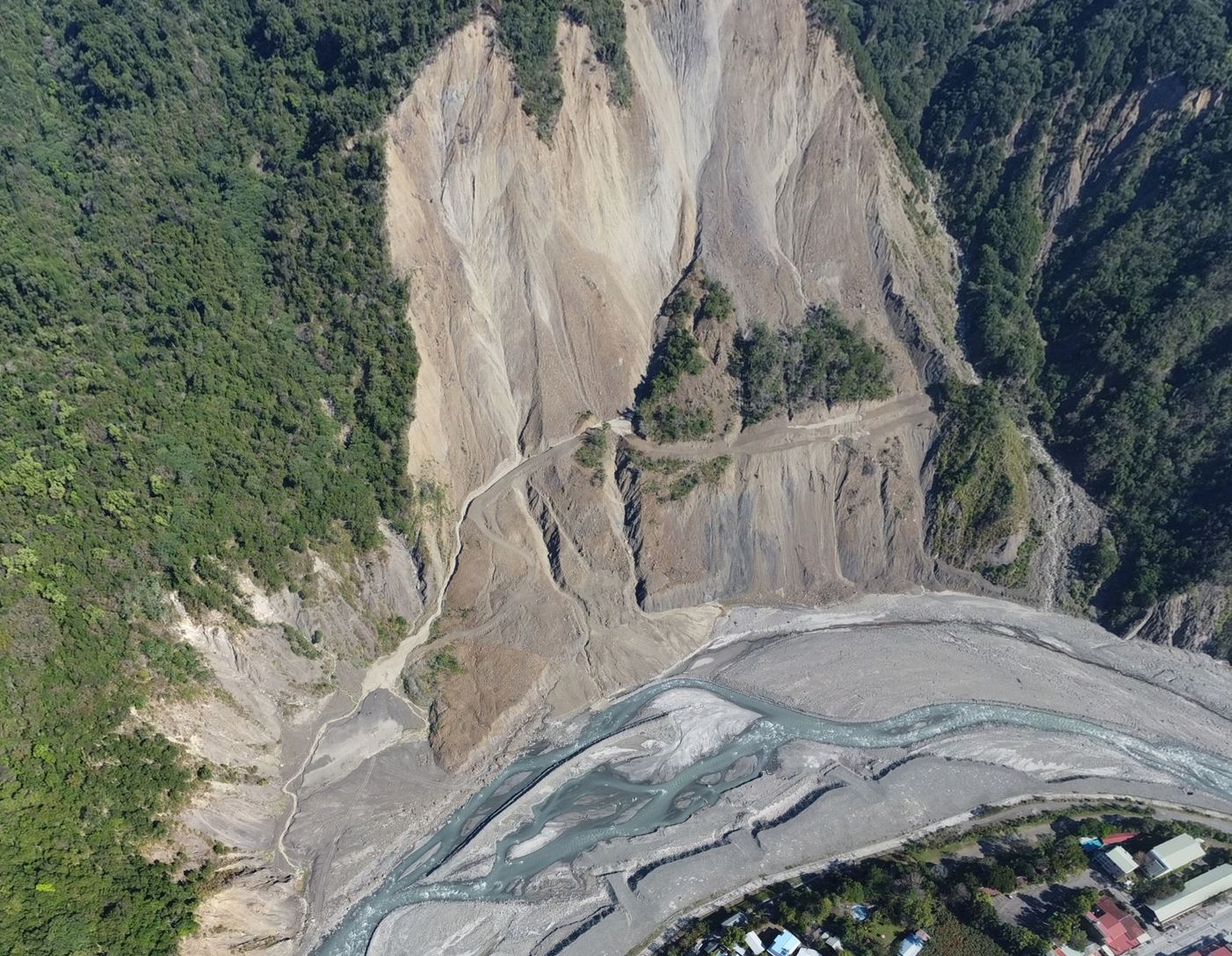
Our research integrates multi-period and multi-source high-resolution digital elevation models (DEMs), including airborne LiDAR, UAV photogrammetry, and global satellite DEMs, to quantify landslide evolution and erosion processes across a wide range of spatial and temporal scales. By developing robust DEM differencing techniques with rigorous uncertainty assessment, we accurately measure topographic change, bedrock incision, sediment redistribution, and decadal erosion rates. Recent advances combine improved global satellite DEMs with spectral analysis to extend erosion measurements from local landslides to watershed-scale sediment budgets. These studies provide new insights into post-landslide landscape recovery, sediment buffering, and geomorphic responses to extreme rainfall and tectonic forcing. The developed methodologies establish an efficient framework for long-term terrain monitoring and natural hazard assessment, supporting both scientific understanding of Earth surface processes and practical applications in landslide risk management.
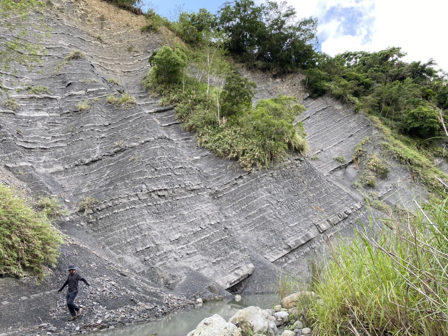
(II) Challenges and solutions in high-resolution geological mapping using LiDAR data in 3D environments | 三維LiDAR環境下高解析度地質製圖之挑戰與解決方法
Our research advances high-resolution geological mapping by integrating airborne and UAV LiDAR with three-dimensional visualization and field investigations to overcome the challenges of mapping complex and densely vegetated terrains. Bare-earth LiDAR DEMs reveal subtle geomorphic features and structural landforms that are difficult to identify using conventional aerial photographs or field observations alone. By combining hillshade, slope, local relief, openness, and 3D visualization with targeted field verification, we establish an efficient workflow for identifying faults, folds, fractures, lithologic boundaries, and landslide features at unprecedented resolution. Applications in Taiwan's active mountain belts demonstrate that LiDAR-based mapping significantly improves the interpretation of structural architecture, tectonic geomorphology, and surface deformation. These methodologies provide a robust framework for producing high-precision geological maps, reducing mapping uncertainty, and enhancing our understanding of tectonic evolution, landscape development, and geohazard assessment.
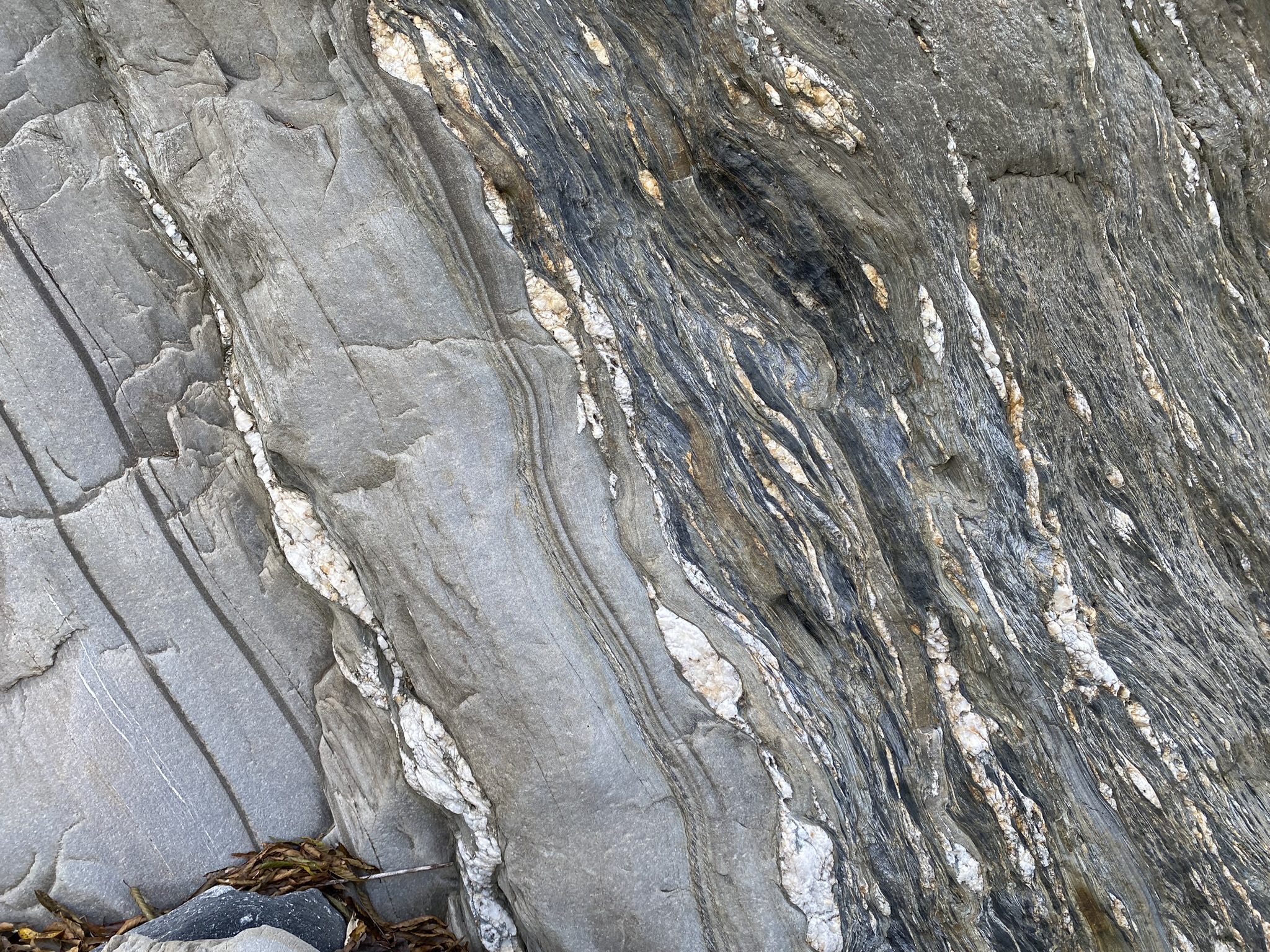
(III) Deformation patterns and structural development of active mountain belts | 活動造山帶的變形型態與構造發展演化
Our research investigates the deformation patterns and structural evolution of active mountain belts through integrated structural geology, tectonic geomorphology, geological mapping, geochronology, and high-resolution topographic analysis. Combining field observations with LiDAR-derived terrain models, remote sensing, and geochronologic constraints allows us to characterize deformation from outcrop to orogen scales and reconstruct the tectonic evolution of mountain belts. Studies in the Taiwan arc–continent collision reveal vertically and laterally partitioned deformation, the roles of thrusting, folding, and fault reactivation, and the interactions among tectonic uplift, erosion, and landscape evolution. Recent high-resolution structural mapping has identified previously unrecognized structural architectures and deformation sequences, providing new insights into mountain-building mechanisms and crustal shortening. These results improve our understanding of active orogenic processes while contributing to regional tectonic models and assessments of earthquake and landslide hazards.
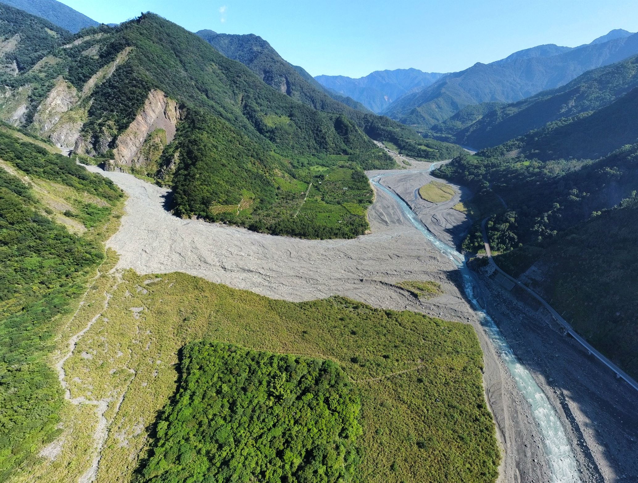
(IV) Assessing the landslide process and its potential hazard by monitoring and modeling | 透過監測與模擬評估山崩作用過程及其潛在災害
Our research integrates field observations, satellite remote sensing, UAV surveys, LiDAR, and numerical modeling to investigate landslide processes and assess their potential hazards. Multi-temporal monitoring using InSAR, UAV photogrammetry, LiDAR, and high-resolution DEMs enables the detection of surface deformation, quantification of topographic change, and characterization of landslide kinematics from millimeter to meter scales. These observations are combined with geomorphic analyses and physically based models to evaluate landslide initiation, evolution, sediment transport, and post-failure recovery under the influence of extreme rainfall, earthquakes, and ongoing tectonic activity. Applications in Taiwan demonstrate how continuous monitoring and process-based modeling improve the understanding of slow-moving and rapidly evolving landslides, providing a scientific basis for hazard assessment, early warning, and risk mitigation in mountainous regions.
Airborne LiDAR Mapping Project (2005-2011) | 空載雷射掃描(光達)地形測製計畫
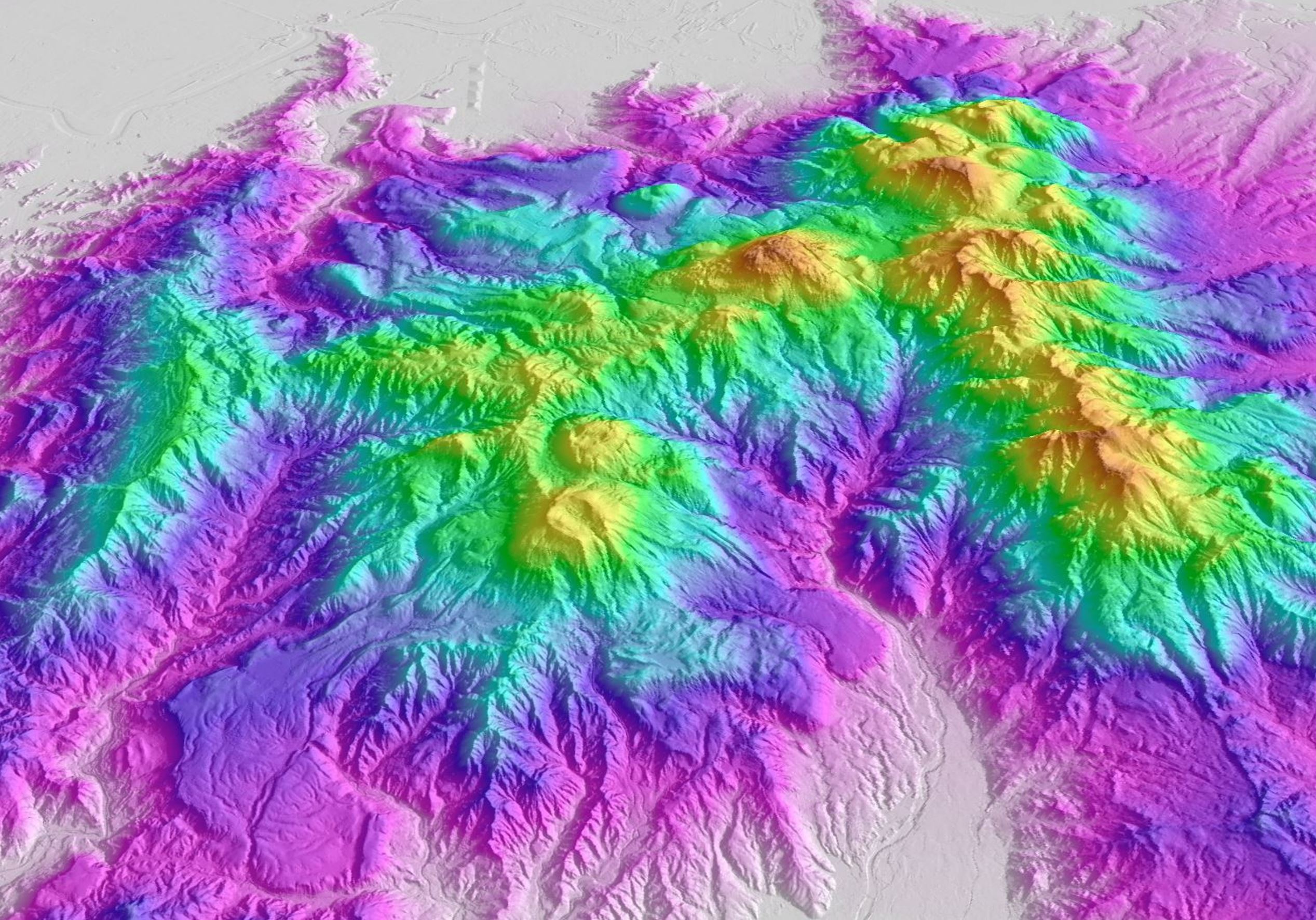
From 2005 to 2011, a multidisciplinary research team of the Institute of Earth Sciences, Academia Sinica, conducted a seven-year program applying airborne LiDAR to tectonic geomorphology, active-structure mapping, and geological-hazard investigations. The work was commissioned and supported by the Central Geological Survey, Ministry of Economic Affairs, Taiwan ...... [Link for more]
Landslide and Erosion Thematic Project (2019-2021) | 中研院山崩與侵蝕主題計畫
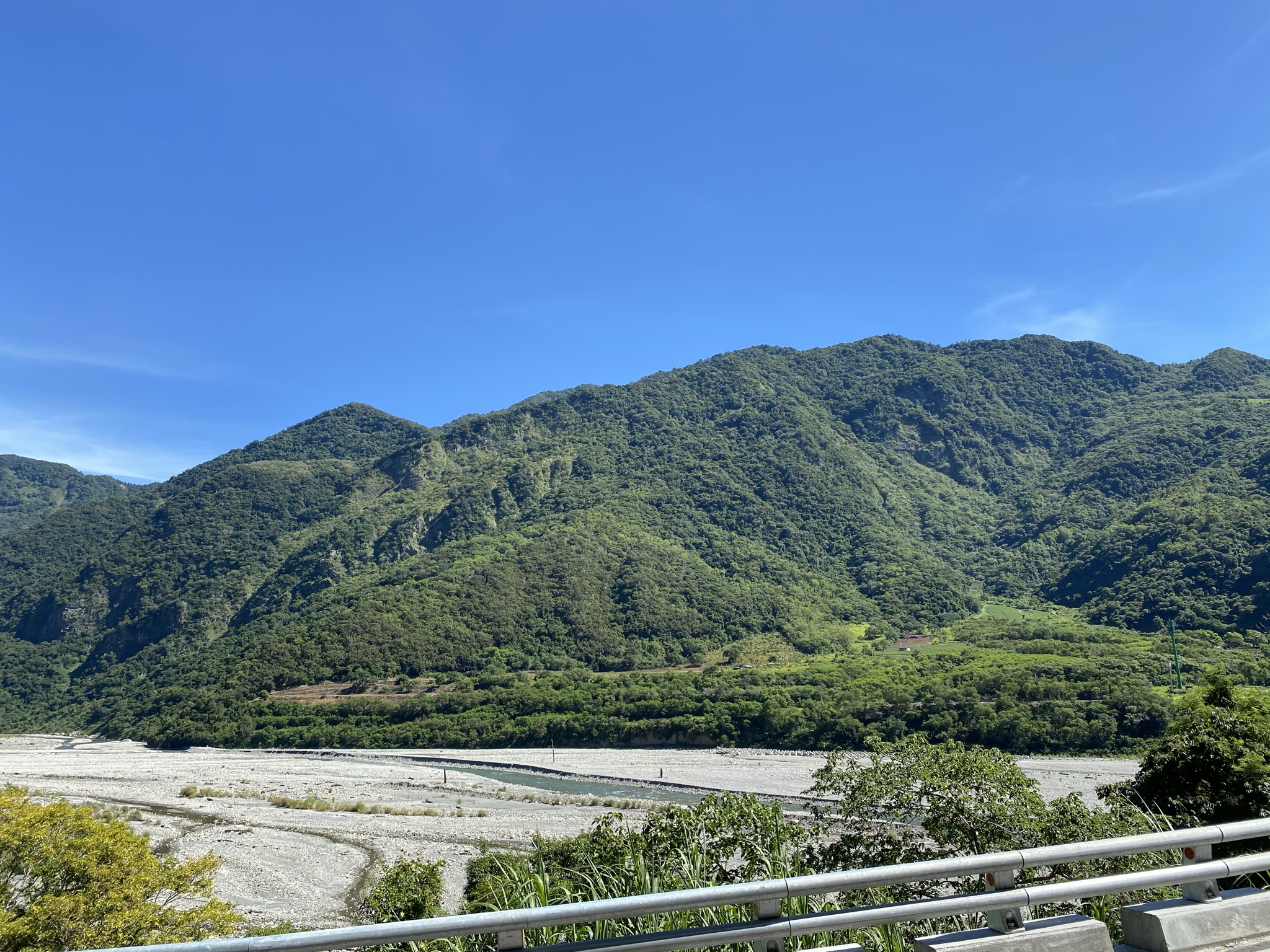
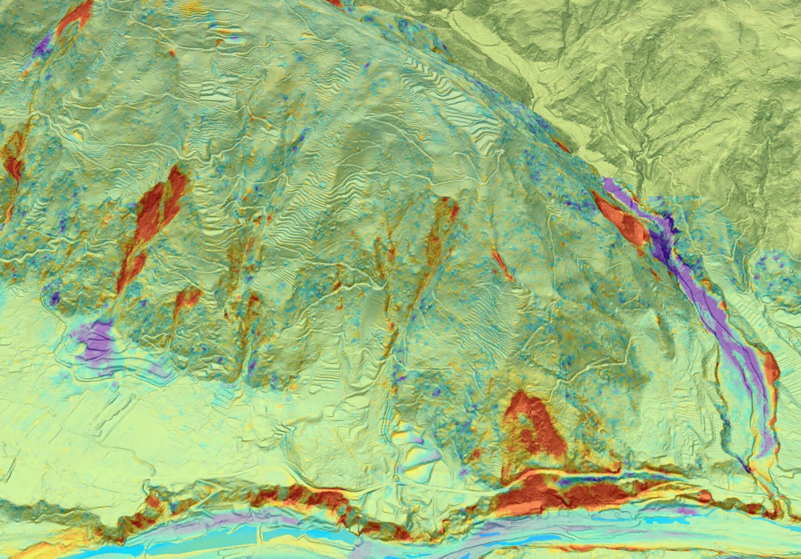
Taiwan is located within an active mountain belt, where frequent earthquakes, typhoons, and intense rainfall drive rapid landsliding, erosion, and sediment transport. These processes continuously reshape the mountainous landscape and influence river systems, reservoir sedimentation ...... [Link for more]
Modern Geological Mapping of Taiwan (2011-present) | 新世代台灣地質圖繪製研究
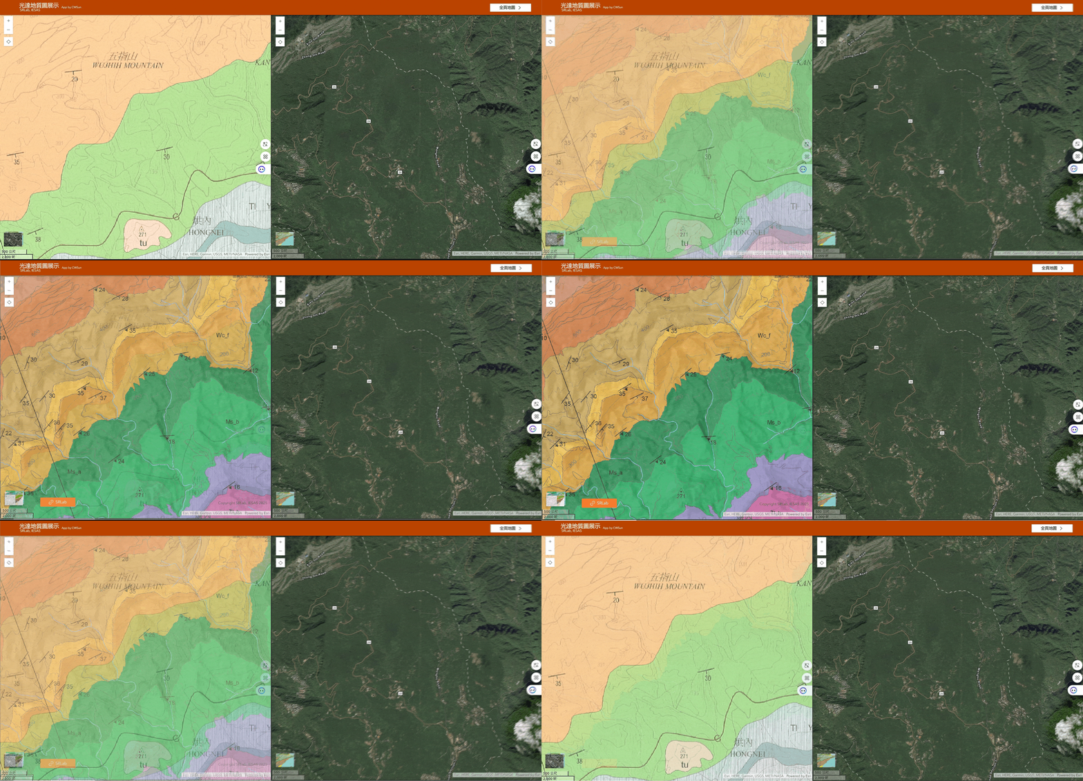
Geological mapping is one of the most fundamental parts of geological research. A geological map records the distribution of rock units, faults, folds, and other structures at the Earth’s surface and provides the basis for understanding regional geology, tectonic development, natural hazards ......[Link for more]
Thermal Remote Sensing (2021-present) | 熱遙測研究
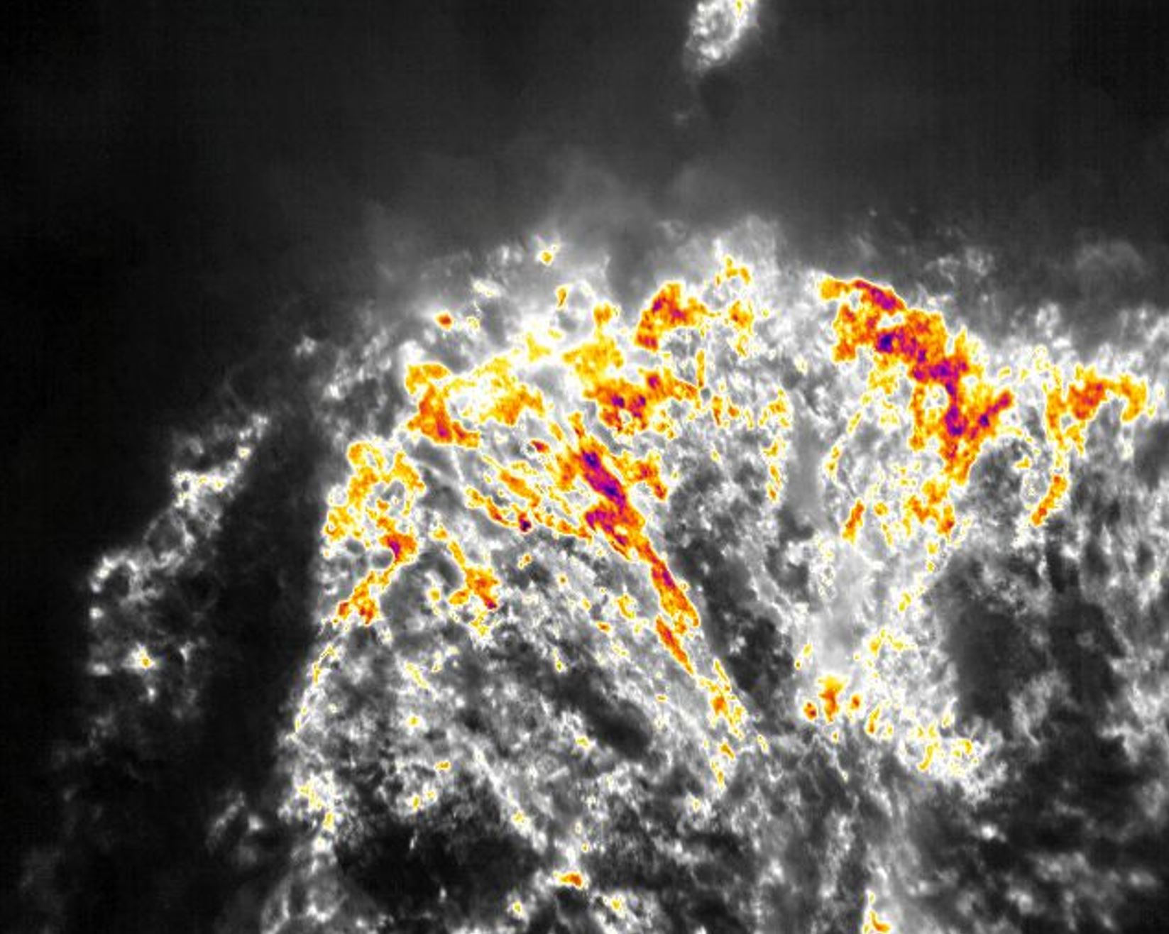
In recent years, I have participated in research associated with the Tatun Volcano Observatory (TVO). Working closely with postdoctoral researcher Dr. Hai-Po Chan and Ph.D. student Cheng-Wei Sun, we have explored how satellite and UAV thermal infrared observations can be used to understand ...... [Link for more]