Landslide and Erosion Thematic Project, Academia Sinica (2019-2021)
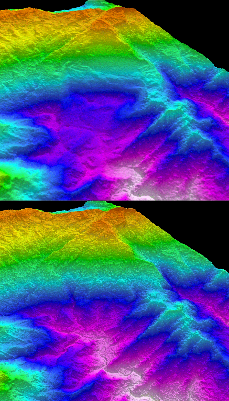
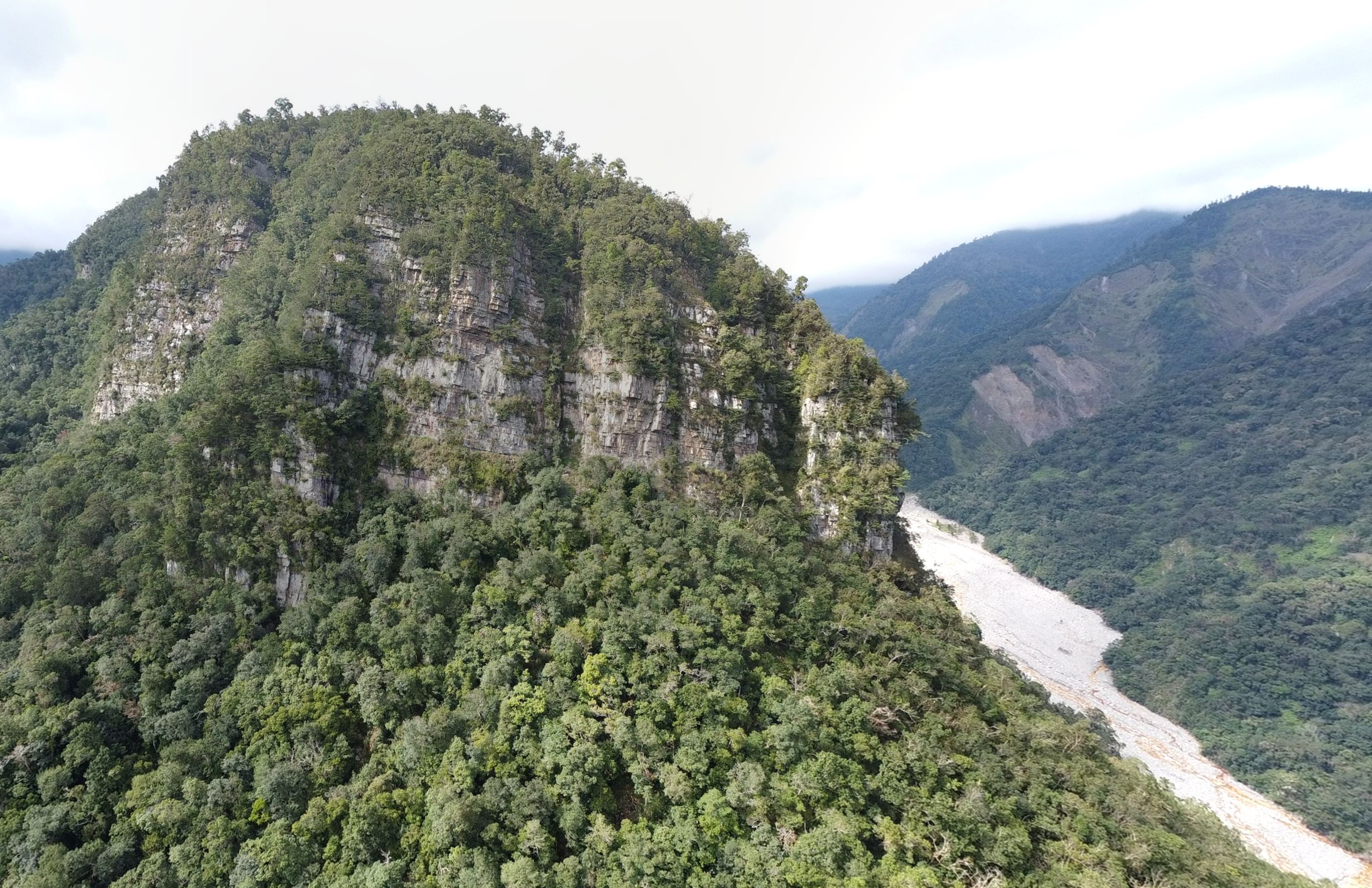
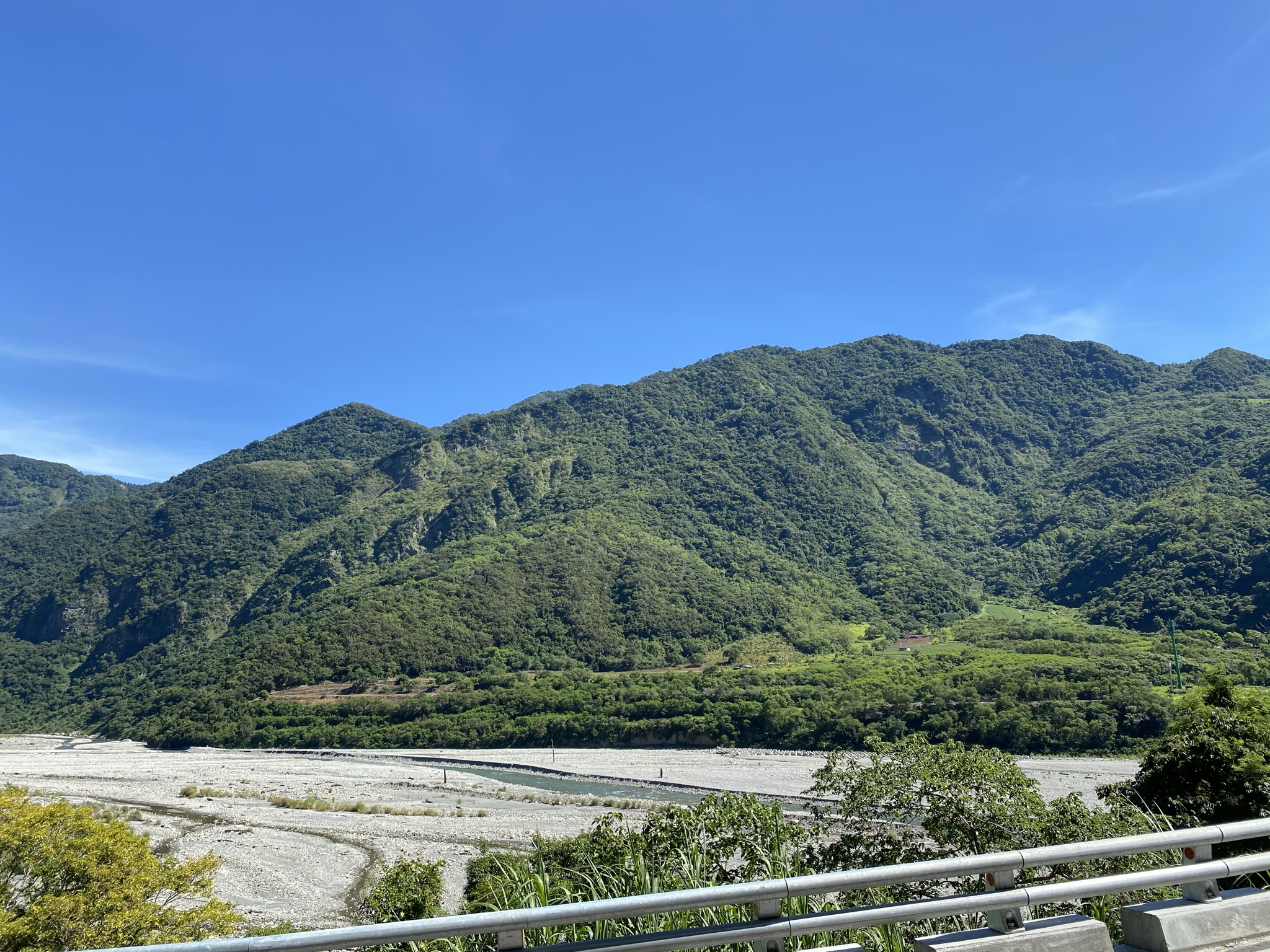
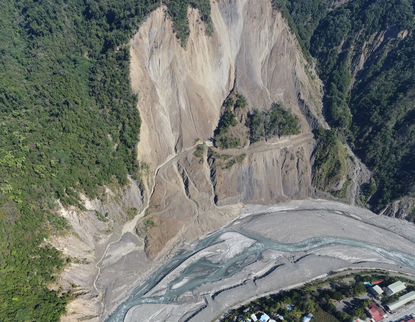
Taiwan is located within an active mountain belt, where frequent earthquakes, typhoons, and intense rainfall drive rapid landsliding, erosion, and sediment transport. These processes continuously reshape the mountainous landscape and influence river systems, reservoir sedimentation, infrastructure, and communities downstream.
This thematic project integrated geology, seismology, geophysics, remote sensing, topographic analysis, and isotope geochemistry to investigate the interconnected processes of landslide occurrence, slope failure, physical erosion, chemical weathering, and sediment transport. The research covered a wide range of temporal and spatial scales—from individual landslide events to the long-term evolution of mountain landscapes and river basins.
Understanding Landslide and Erosion Processes: Multidisciplinary Research on Landslide Detection, Slope Failure, and Sediment Transport
瞭解山崩和侵蝕作用:以多學科視角研究山崩偵測、坡體破壞和沉積物輸送
Project leader: Yu-Chang Chan(詹瑜璋)
Project period: 2019 – 2021 (three years)
The project consisted of four closely related subprojects:
1. Determining Landslide Parameters and Locations Using Seismic Networks and Automated InSAR Monitoring
以地震網與合成孔徑雷達測定山崩物理參數與發生位置
Investigators: Yu-Nung Lin(林玉儂)and Cheng-Horng Lin(林正洪)
This subproject combined seismic-network observations with automated InSAR monitoring to detect landslides and determine their locations, timing, and physical characteristics. The integration of ground-based seismic data and satellite radar observations provided complementary information on both rapid slope failures and slower surface displacement.
2. Analyzing Landslide Slip Characteristics and Topographic Effects Using Geophysical Monitoring and Seismic-Wave Simulations
利用地球物理監測與震波模擬解析山崩之滑移特性與地形效應
Investigators: Hsin-Hua Huang(黃信樺)and Shiann-Jong Lee(李憲忠)
This subproject used geophysical monitoring and seismic-wave simulations to examine the dynamic behavior of landslides. Particular attention was given to the characteristics of landslide slip and to how mountainous topography influences seismic-wave propagation and the signals recorded by monitoring networks.
3. Characterizing Physical Erosion and Sediment Transport over Short and Geological Timescales
短時間與地質時間尺度之物理侵蝕與沉積物輸送作用研究
Investigators: Yu-Chang Chan(詹瑜璋), Wei-An Chao(趙韋安), and J. Bruce H. Shyu(徐澔德)
This subproject examined physical erosion and sediment transport from individual events to geological timescales. By integrating high-resolution topography, geological observations, and seismic data, the research explored how landslides generate sediment, how that material is stored and redistributed within river basins, and how repeated events contribute to long-term landscape evolution.
4. Exploring Chemical Weathering and Sediment Transport Using Isotope Geochemistry
以同位素地球化學探討化學風化與沉積物輸送作用
Investigators: Kuo-Fang Huang(黃國芳)and Li-Hung Lin(林立虹)
This subproject applied isotope geochemistry to investigate chemical weathering, sediment sources, and the movement of materials through drainage systems. These geochemical observations complemented the physical measurements of erosion and helped distinguish the contributions of different sources and processes to sediment transport.
Together, the four subprojects developed an integrated framework linking slope deformation, landslide initiation, physical erosion, chemical weathering, and downstream sediment transport. The multidisciplinary approach provided a more complete understanding of how Taiwan’s rapidly uplifting and frequently disturbed mountain landscape evolves—and how the same processes contribute to geological hazards and environmental change.