Tatun Volcanic System: Quantifying geothermal heat loss at the Dayoukeng crater (2026)
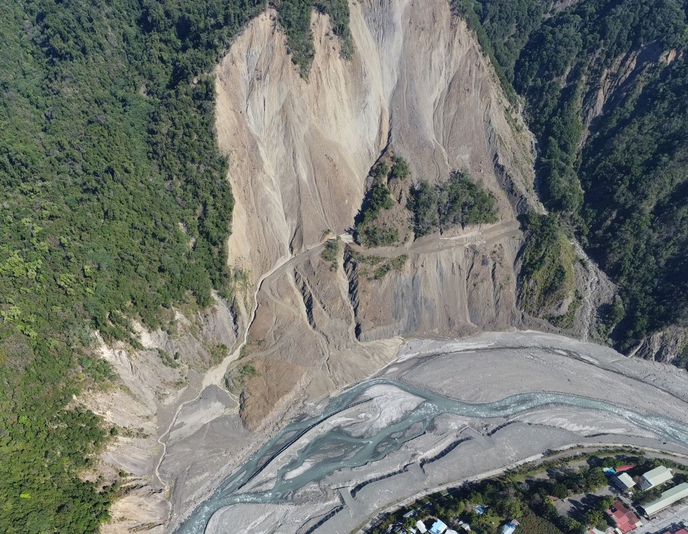
This study quantifies geothermal radiative heat flux and heat loss at the Dayoukeng crater, Tatun Volcanic Group, Taiwan, using UAV thermal imagery and Landsat thermal infrared data. While Landsat efficiently captures regional geothermal heat loss, UAV observations resolve fine-scale thermal variability with much higher spatial detail. Both approaches produce comparable geothermal heat loss estimates (210–217 MW), demonstrating their complementary strengths. This work represents the first UAV-based geothermal heat loss assessment at Dayoukeng and provides a valuable framework for geothermal exploration and volcanic monitoring.
本研究結合無人機熱影像與 Landsat 熱紅外資料,量化台灣大屯火山群大油坑地熱輻射熱通量與熱損失。結果顯示衛星可有效評估區域地熱熱損失,無人機則可解析局部熱異質性,兩者具互補優勢,可應用於地熱探勘與火山監測。

Abstract
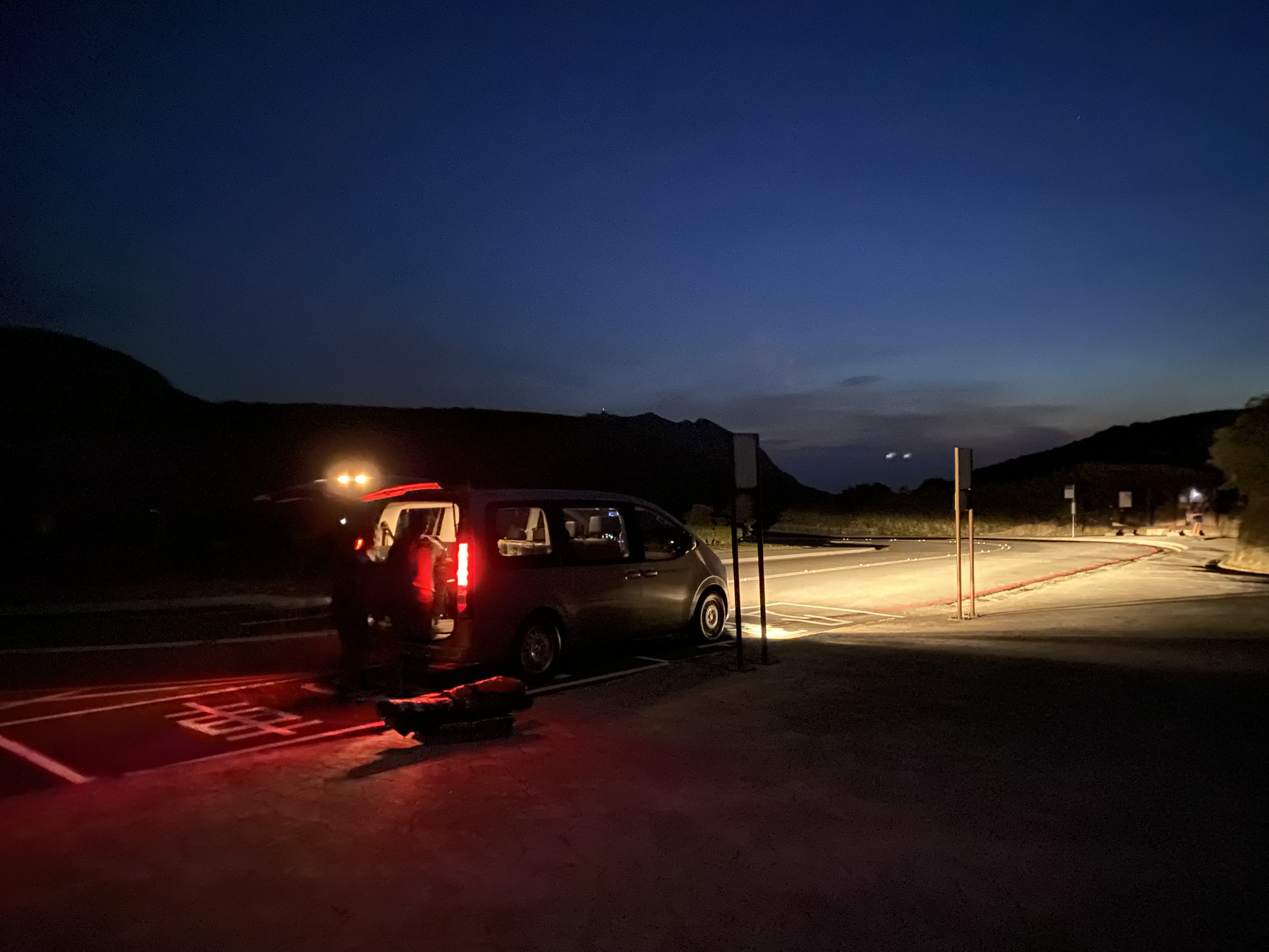
This study quantifies geothermal radiative heat flux (RHF) and geothermal radiative heat loss (RHL) at the Dayoukeng (DYK) crater of Tatun Volcanic Group (TVG) in Taiwanusing both UAV thermal imaging and Landsat thermal infrared data. A dawn UAV survey minimized solar effects, acquiring 782 thermal images at 13 cm resolution. Land surface temperatures from both datasets were used to estimate RHF accounting for surface emissivity, atmospheric transmittance, and ambient temperature. Both datasets consistently delineate geothermal anomalies, while UAV imagery uniquely resolves fine-scale thermal heterogeneity. Maximum temperatures reach 84.4 °C in UAV data and 44.4 °C in Landsat, corresponding to peak RHF values of 214 and 62.6 Wm⁻², respectively. Despite differences in spatial resolution and peak values, geothermal heat loss estimates are comparable, with RHL of 210 MW derived from UAV data and 217 MW from Landsat observations, and are of similar order of magnitude to previous geochemical estimates based on the volumetric method. These results demonstrate that satellite thermal imagery provides an efficient tool for regional geothermal heat loss assessment, whereas UAV thermal imaging offers substantially enhanced detail on localized heat flux variability. This study presents the first UAV-based geothermal heat loss assessment at DYK within the Tatun Volcanic Group, northern Taiwan, and highlights the complementary strengths of UAV and satellite thermal observations for geothermal exploration and volcanic monitoring.
Citation
Chan*, H.-P., Chan*, Y.-C., & Sun, C.-W. (2026). Quantifying geothermal heat loss at the Dayoukeng crater using UAV thermal imaging and comparison with Landsat-derived estimates. Geothermics, 141, 103776. https://doi.org/10.1016/j.geothermics.2026.103776 (*corresponding author)