LiDAR-Based Geological Mapping in the Yuli Coastal Range (2021)
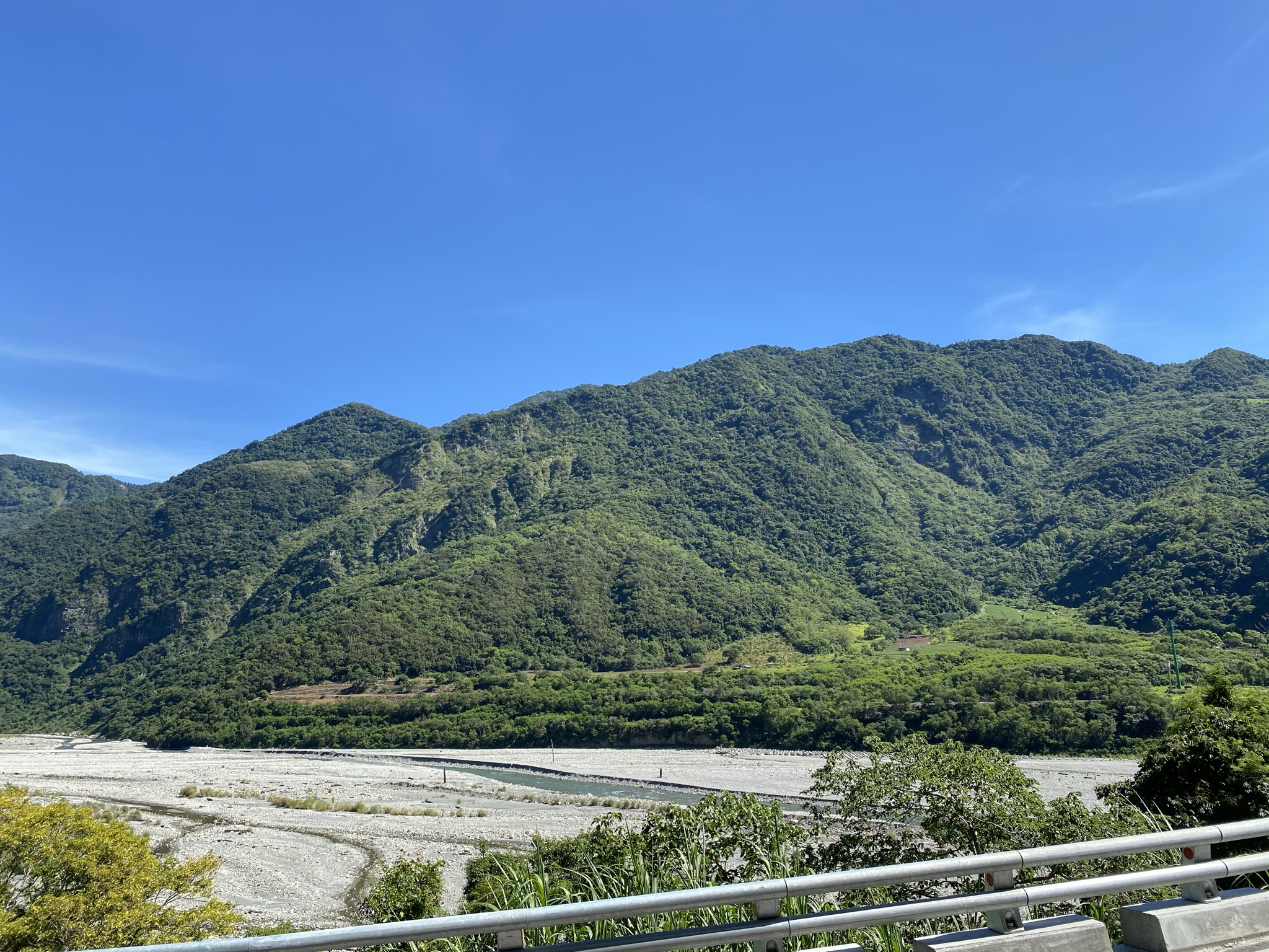
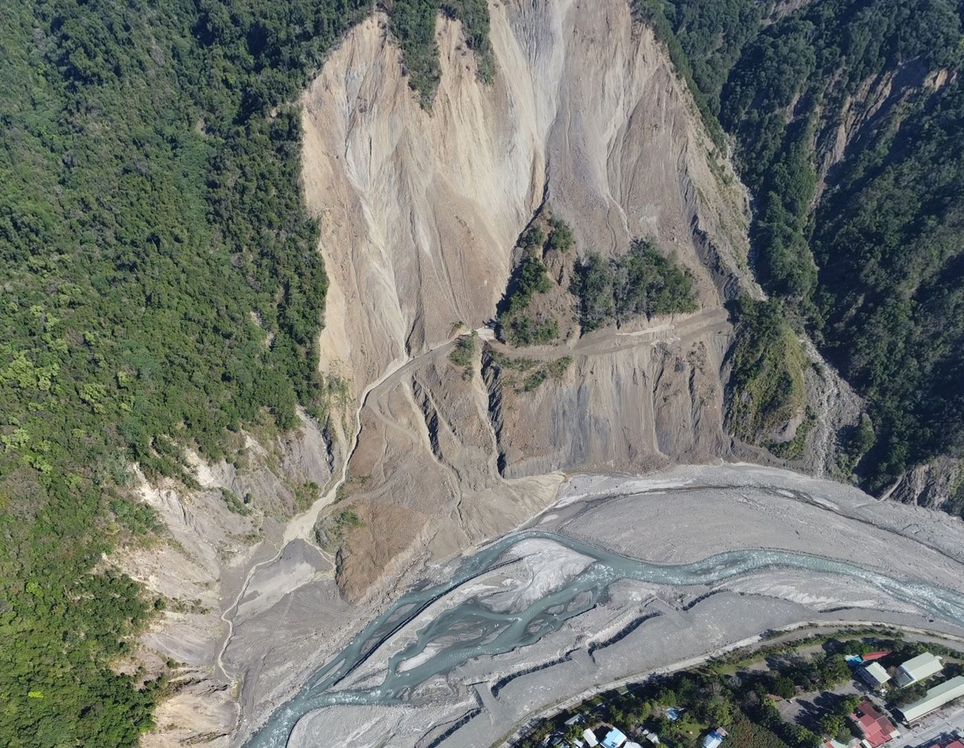
Using high-resolution DEM derived from LiDAR in Taiwan's Coastal Range, this study overcame challenges in geologic mapping caused by dense vegetation and steep terrain. The mapping method successfully identified features in both igneous and sedimentary rock, revealing new structures like shear zones, faults, and monoclines. The resulting 1:50,000 geological map demonstrates how LiDAR can extend conventional field geology rather than replace it, providing a new framework for geological mapping in Taiwan’s rugged and densely vegetated terrain.
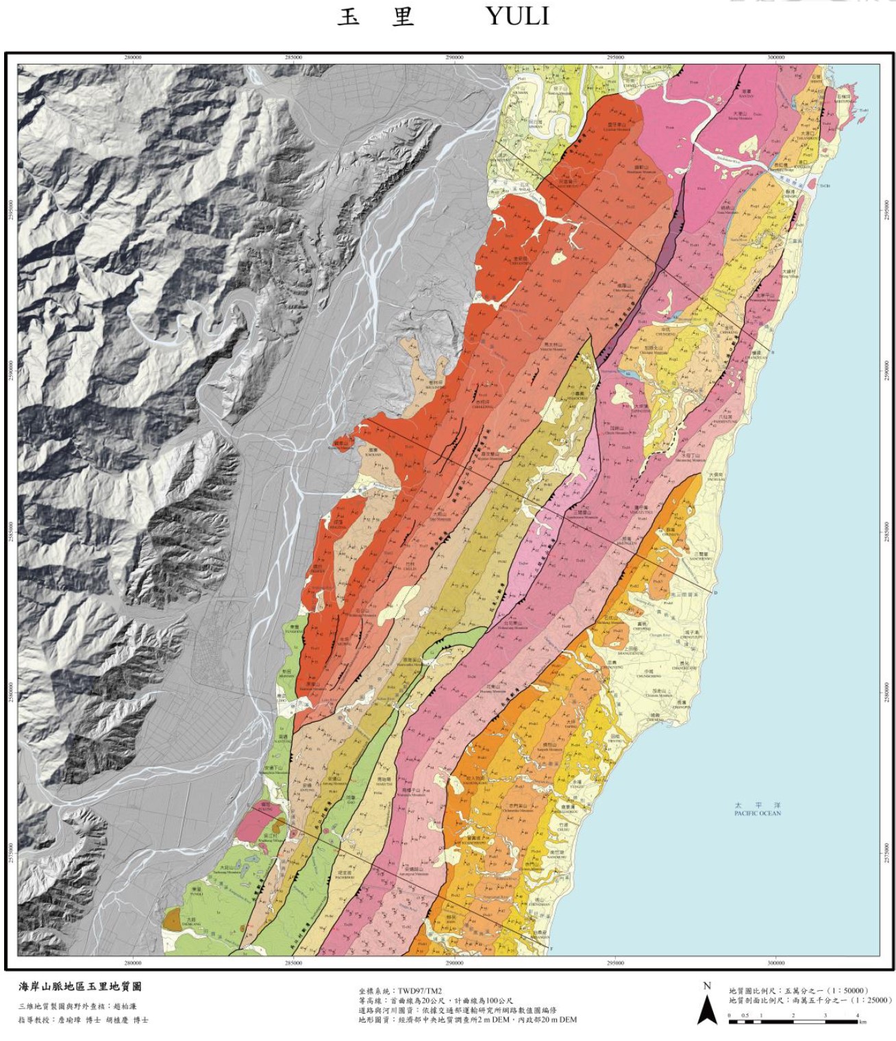
Geologic map of Yuli based on LiDAR DEM
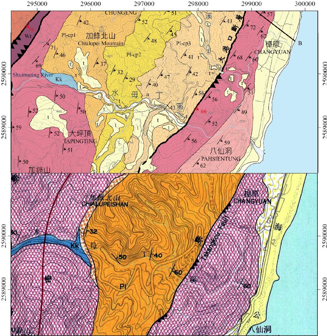
Comparison of our work (upper) and previous map (lower)
Citation
趙柏濂(2021)。應用空載光達數值地形精進火成岩與沉積岩混合區地質圖:以海岸山脈地區玉里地質圖幅為例〔碩士論文,國立臺灣大學〕。https://doi.org/10.6342/NTU202101583