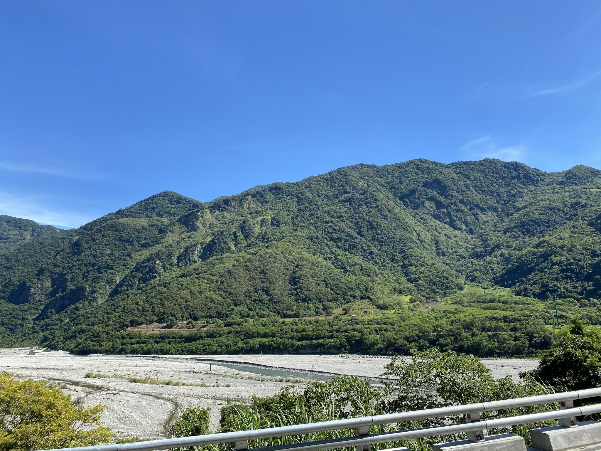
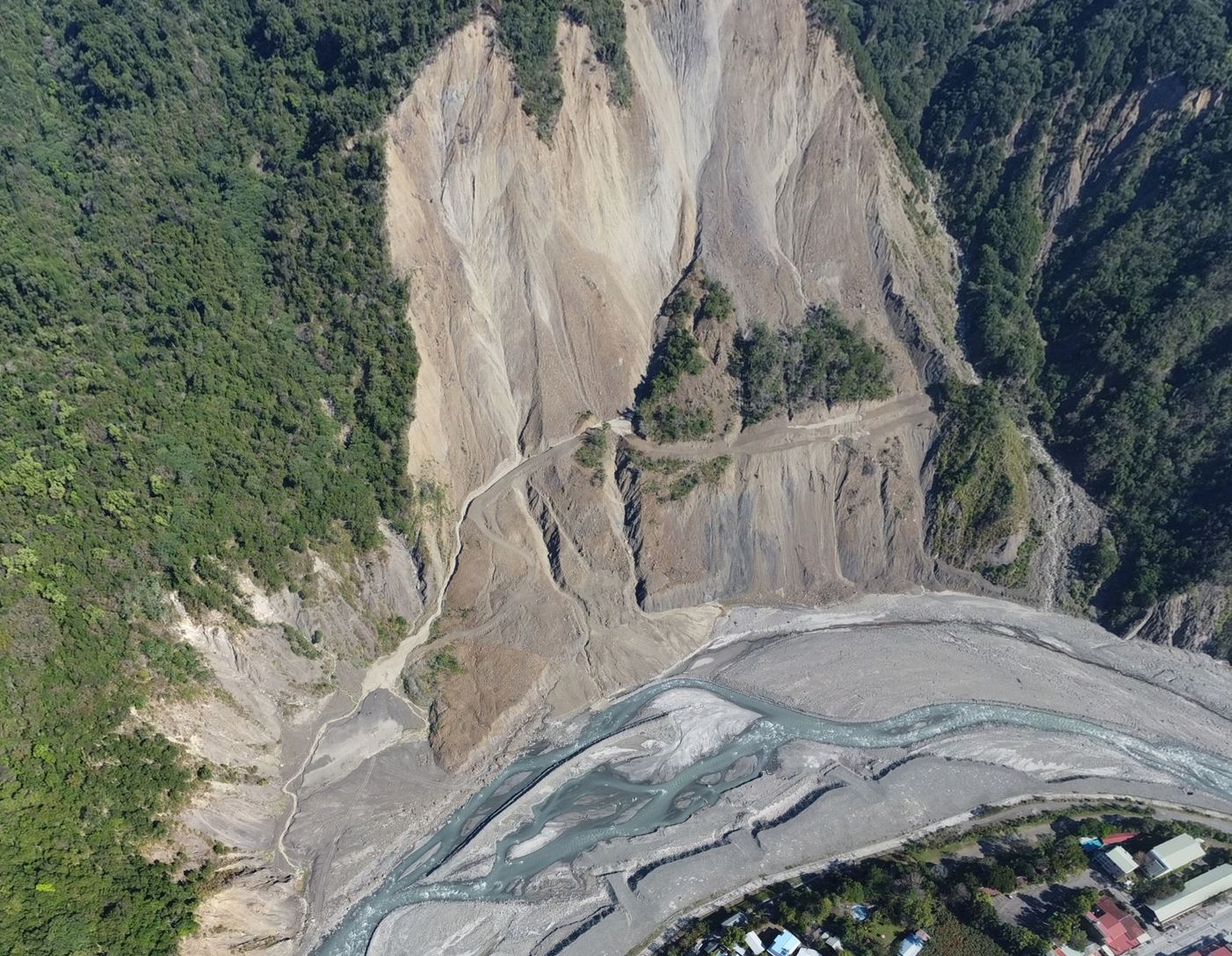
Climate change is increasing extreme rainfall and landslides in mountain regions, raising concerns about accelerated erosion. Our study in Taiwan’s Laonong Basin combined satellite-derived elevation data with local Lidar data to examine how rapidly the landscape is changing. We found that decadal erosion rates are about 5 millimeters per year, similar to geological rates measured over thousands to millions of years. This suggests that sediment produced by storms and landslides is often temporarily stored in valleys as we have found before being transported downstream, helping maintain long-term erosion balance. Our study also identified smaller areas with much higher erosion rates, highlighting localized landslide hazards and demonstrating the value of enhanced elevation differencing data for monitoring landscape change.
氣候變遷讓極端降雨和山崩變得更頻繁,也讓山區侵蝕速度更受關注。我們以臺灣荖濃溪流域為例,結合衛星高程資料與在地光達資料,來看近幾十年的地形變化。結果發現,流域平均侵蝕速率大約是每年 5 毫米,和長時間(幾千到幾百萬年)的地質估算其實很接近。這表示雖然暴雨和崩塌會帶來大量土砂,但這些物質常會先暫時堆在河谷或沖積扇,再慢慢被搬運出去,所以長期來看侵蝕還是維持平衡。不過在一些子流域,侵蝕速度明顯更高,顯示局部仍有較強的山崩風險。這也說明改良後的高程差分資料,在監測山區地形變化和災害評估上很有幫助。
The SRLab is equiped with the RIEGL RiCOPTER, a professional unmanned aerial vehicle (UAV), or drone, designed for high-precision mapping and surveying. Equipped with a LiDAR (Light Detection and Ranging) sensor, it measures the Earth's surface by emitting hundreds of thousands of laser pulses every second and recording the time it takes for each pulse to return. Combined with accurate GPS positioning and motion sensors, these measurements produce detailed three-dimensional (3D) maps of the landscape. Unlike traditional aerial photography, LiDAR can detect the ground through gaps in vegetation, making it especially valuable for mapping forests and mountainous regions. Today, UAV LiDAR is widely used to monitor landslides, map earthquake faults, survey river channels, measure forest structure, inspect infrastructure, and support environmental research. Its speed, accuracy, and high spatial resolution make it an essential tool for understanding and managing our changing environment.
On August 5, 2026, our research group conducted a field trip to examine Miocene and Oligocene rocks in the Hsintien Geological Map area as part of our summer intern research program. With beautiful weather, we visited several outcrops to observe rock formations, geomorphology, and geological structures. The trip provided interns with valuable hands-on experience in field geology and a deeper understanding of the region's geological structures and evolution.
Using high-resolution DEM derived from LiDAR in Taiwan's Coastal Range, this study overcame challenges in geologic mapping caused by dense vegetation and steep terrain. The mapping method successfully identified features in both igneous and sedimentary rock, revealing new structures like shear zones, faults, and monoclines. The results, including a 1:50000 geologic map and profiles, showcase the potential of this approach for geological studies and engineering applications.